Until the early 1950s almost all of Kuwait sat inside its wall. Then came oil, and with it a question nobody had needed to ask before: where is everyone going to live?
Three names on a report cover
In 1952 the British firm Minoprio, Spencely and Macfarlane delivered the country’s first comprehensive plan, commissioned as part of the modernisation programme under Sheikh Abdullah Al-Salem Al-Sabah.
What it proposed
A town centre worthy of a capital, a modern road network, and zoning split between commercial, industrial and residential use. The geometry that outlived everything else is the ring road: concentric circles tracing the line of the old wall, cut through by radial roads running out from where the gates had stood.
The suburb as a self-contained unit
Outside the wall the plan set out residential areas meant to stand on their own — a detached house per family, with schools, mosques, open space and a co-operative market attached. That template repeated itself in every suburb built afterwards.
How people moved
This was not a forced clearance. Residents were generously compensated for their inner-city homes before those homes were razed, and moved out to newly laid plots. A year earlier, the 1951 housing programme had already built serviced neighbourhoods on the edge of the old town.
What survives of that decision is not paper in an archive. It is the First Ring Road and everything after it, and the suburb you live in.
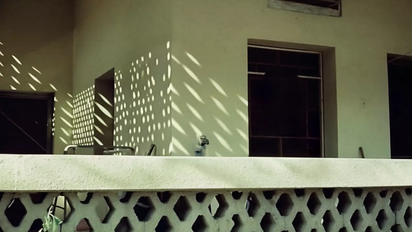
Photograph: a house facade in Salmiya in the 1970s, its breeze blocks breaking the sun and letting air through. Photo by Salwa Farwaneh Dameh, CC0 via Wikimedia Commons.
Source: the Berkeley Planning Journal, University of California, and Kuwait Times.
Kuwait One, once a week.
The most useful stories we published this week, in your inbox.
No spam. Unsubscribe anytime.